- Home
- About us
-
Our research
- Atmospheric
-
Conservation practice
- Water Information System for the Environment (WISE)
- Red list of ecosystems
- Shrub encroachment as a legacy of native mammal decline
- Foraging and habitat ecology of the yellow-tailed black-cockatoo
- Tackling prey naïveté in Australia’s threatened mammals
- Biodiversity sampling in Strzelecki Regional Reserve
- The reintroduction of locally extinct mammals: The landscape ecosystem approach
- The persistence of common wombats in road impacted environments
- Temperate highland peat swamps on sandstone
- Cumberland plain woodland restoration
- Strategic adaptive management
- Limit to climate change adaption in floodplain wetlands - Macquarie Marshes
- Managing for ecosystem change in the greater blue mountains world heritage area
- Adaptive management of Ramsar Wetlands
- Managing for biodiversity in boom and bust cycle environments
- Submission on Biodiversity Act Review
- Marine ecosystems
-
Remote sensing and GIS
- Mangrove response to climatic variability
- Using radar satellite imagery to detect and monitor flooding in arid Australian wetlands
- Supporting continental retrieval of vegetation biophysical attributes
- The Injune Landscape Collaborative Project
- Tree species shifts in response to environmental change
- Regrowth mapping
- Regional biodiversity responses to climate change
- Will climate change affect the ecology of temporary lakes in Australia?
-
Rivers and wetlands
- Changes to the Darling River and Menindee Lakes – past, present and future
- Lowbidgee wetlands of the Murray-Darling Basin - The Nimmie-Caira
- A stitch in time – synergistic impacts to platypus metapopulation extinction risk
- Tube fishway project
- National waterbird survey
- Eastern Australian waterbird survey
- Feather map of Australia
- Life history and dynamics of a platypus (Ornithorhynchus anatinus) population: four decades of mark-recapture surveys
- Adequacy of environmental assessment of the proposed Macquarie River pipeline to the city of Orange
- Increasing production from inland aquaculture in Papua New Guinea for food and income security
- Aquaculture and environmental planning group
- Understanding soil-related constraints on aquaculture production in the highlands of Papua New Guinea
- Improving technologies for inland aquaculture in Papua New Guinea (ACIAR Project FIS2014062)
- Drying of ancient Thirlmere Lakes caused by human activities
- Application of GIS and remote sensing to assess sustainable mariculture and protect conservation zones
- Improving the sustainability of rice-shrimp farming systems in the Mekong Delta, Vietnam
- A SWOT analysis of Papua New Guinea’s inland fisheries and aquaculture sectors
- Carbon and floodplain biota in the Macquarie marshes
- Micro-invertebrate community dynamics and flooding in the Macquarie marshes
- Just add water? The effectiveness of environmental flows during wetland vegetation restoration
- Application of motion sensing cameras as a tool for monitoring riparian fauna
- Captive or wild?
- Brolga and Sarus crane diet comparison
- Lake Brewster pelican banding
- Aquatic invertebrate strategies for coping with drought
- Submission on Draft Lake Eyre Basin Strategic Plan
- The Menindee Lakes Water Savings Project – an example of poor decision-making
- Flow-MER
-
Terrestrial ecosystems
- Post-fire recovery of threatened ecological communities
- Environment Recovery Project: Australian bushfires
- Community stability of upland swamp vegetation
- An innovative approach to maximising catchment water yield in a changing climate
- Post-fire seed production in Hakea Gibbosa
- Managing fire regimes with thresholds to save threatened flora and fauna
- Stopping the toad
- Trophic cascades in NSW North Coast forests
- Individual hunting behavior in feral cats
- Mallee Ecosystem Dynamics
- Investigating artificial waterhole utilisation and management in north-eastern Botswana
- Investigating the spatial ecology, habitat use, behaviour, and ecosystem engineering of hippopotamus (Hippopotamus amphibius), a keystone species in the Okavango Delta and Chobe River, northern Botswana
- Does overgrazing reduce ecosystem functions
-
Study with us
- Courses
-
Postgraduate research projects
- Platypus breeding
- Maximising establishment success in reintroduced populations
- PhD scholarship saving our species - patch value, viability and resilience
- PhD scholarship – mechanics of species irruptions
- Conservation ecology of Greater bilby: survival, reproductive success and movement ecology in a breeding sanctuary in NSW
- Scientia PhD scholarship - Identifying healthy burning practices for Australia’s threatened plant species
- Scientia PhD scholarship - Ecosystem restoration through rewilding
- Platypus population health and dynamics
- Tackling prey naiveté in Australia’s endangered mammals
- Testate amoebae: a new biomarker of climate change and human impact in peatlands
- Surface water dynamics as a function of climate and river flow data
- Multisensor integration for environmental flows
- Response of northern Australian mangroves to climatic variability
- Comparative effects of extreme heat on threatened desert mammals
- Alumni - Where are they now?
- FAQ
- Workshops
- Our Impact
- News
- Wild Deserts
- Flow-MER
- Home
- About us
-
Our research
Conservation practice
- Water Information System for the Environment (WISE)
- Red list of ecosystems
- Shrub encroachment as a legacy of native mammal decline
- Foraging and habitat ecology of the yellow-tailed black-cockatoo
- Tackling prey naïveté in Australia’s threatened mammals
- Biodiversity sampling in Strzelecki Regional Reserve
- The reintroduction of locally extinct mammals: The landscape ecosystem approach
- The persistence of common wombats in road impacted environments
- Temperate highland peat swamps on sandstone
- Cumberland plain woodland restoration
- Strategic adaptive management
- Limit to climate change adaption in floodplain wetlands - Macquarie Marshes
- Managing for ecosystem change in the greater blue mountains world heritage area
- Adaptive management of Ramsar Wetlands
- Managing for biodiversity in boom and bust cycle environments
- Submission on Biodiversity Act Review
Remote sensing and GIS
- Mangrove response to climatic variability
- Using radar satellite imagery to detect and monitor flooding in arid Australian wetlands
- Supporting continental retrieval of vegetation biophysical attributes
- The Injune Landscape Collaborative Project
- Tree species shifts in response to environmental change
- Regrowth mapping
- Regional biodiversity responses to climate change
- Will climate change affect the ecology of temporary lakes in Australia?
Rivers and wetlands
- Changes to the Darling River and Menindee Lakes – past, present and future
- Lowbidgee wetlands of the Murray-Darling Basin - The Nimmie-Caira
- A stitch in time – synergistic impacts to platypus metapopulation extinction risk
- Tube fishway project
- National waterbird survey
- Eastern Australian waterbird survey
- Feather map of Australia
- Life history and dynamics of a platypus (Ornithorhynchus anatinus) population: four decades of mark-recapture surveys
- Adequacy of environmental assessment of the proposed Macquarie River pipeline to the city of Orange
- Increasing production from inland aquaculture in Papua New Guinea for food and income security
- Aquaculture and environmental planning group
- Understanding soil-related constraints on aquaculture production in the highlands of Papua New Guinea
- Improving technologies for inland aquaculture in Papua New Guinea (ACIAR Project FIS2014062)
- Drying of ancient Thirlmere Lakes caused by human activities
- Application of GIS and remote sensing to assess sustainable mariculture and protect conservation zones
- Improving the sustainability of rice-shrimp farming systems in the Mekong Delta, Vietnam
- A SWOT analysis of Papua New Guinea’s inland fisheries and aquaculture sectors
- Carbon and floodplain biota in the Macquarie marshes
- Micro-invertebrate community dynamics and flooding in the Macquarie marshes
- Just add water? The effectiveness of environmental flows during wetland vegetation restoration
- Application of motion sensing cameras as a tool for monitoring riparian fauna
- Captive or wild?
- Brolga and Sarus crane diet comparison
- Lake Brewster pelican banding
- Aquatic invertebrate strategies for coping with drought
- Submission on Draft Lake Eyre Basin Strategic Plan
- The Menindee Lakes Water Savings Project – an example of poor decision-making
- Flow-MER
Terrestrial ecosystems
- Post-fire recovery of threatened ecological communities
- Environment Recovery Project: Australian bushfires
- Community stability of upland swamp vegetation
- An innovative approach to maximising catchment water yield in a changing climate
- Post-fire seed production in Hakea Gibbosa
- Managing fire regimes with thresholds to save threatened flora and fauna
- Stopping the toad
- Trophic cascades in NSW North Coast forests
- Individual hunting behavior in feral cats
- Mallee Ecosystem Dynamics
- Investigating artificial waterhole utilisation and management in north-eastern Botswana
- Investigating the spatial ecology, habitat use, behaviour, and ecosystem engineering of hippopotamus (Hippopotamus amphibius), a keystone species in the Okavango Delta and Chobe River, northern Botswana
- Does overgrazing reduce ecosystem functions
-
Study with us
Postgraduate research projects
- Platypus breeding
- Maximising establishment success in reintroduced populations
- PhD scholarship saving our species - patch value, viability and resilience
- PhD scholarship – mechanics of species irruptions
- Conservation ecology of Greater bilby: survival, reproductive success and movement ecology in a breeding sanctuary in NSW
- Scientia PhD scholarship - Identifying healthy burning practices for Australia’s threatened plant species
- Scientia PhD scholarship - Ecosystem restoration through rewilding
- Platypus population health and dynamics
- Tackling prey naiveté in Australia’s endangered mammals
- Testate amoebae: a new biomarker of climate change and human impact in peatlands
- Surface water dynamics as a function of climate and river flow data
- Multisensor integration for environmental flows
- Response of northern Australian mangroves to climatic variability
- Comparative effects of extreme heat on threatened desert mammals
- Our Impact
- News
- Wild Deserts
- Flow-MER

Date: Tuesday October 25th 2022
Project: Eastern Australian Waterbird Survey
Observers: John Porter & Heath Dunstan
Pilot: Alex Katopodis
Our week does not get off to a good start! A group of low pressure systems swirling over the continent ensure that our planned departure on Monday is delayed. Weather reports confirm that parts of south-eastern Australia have had their wettest October on record. Tuesday's departure is delayed for a few hours as we wait for the weather to clear. Finally we opt to do our planned route in reverse hoping to beat the bad weather. Departing Sydney, we head for Albury and turn west along Survey Band 2.

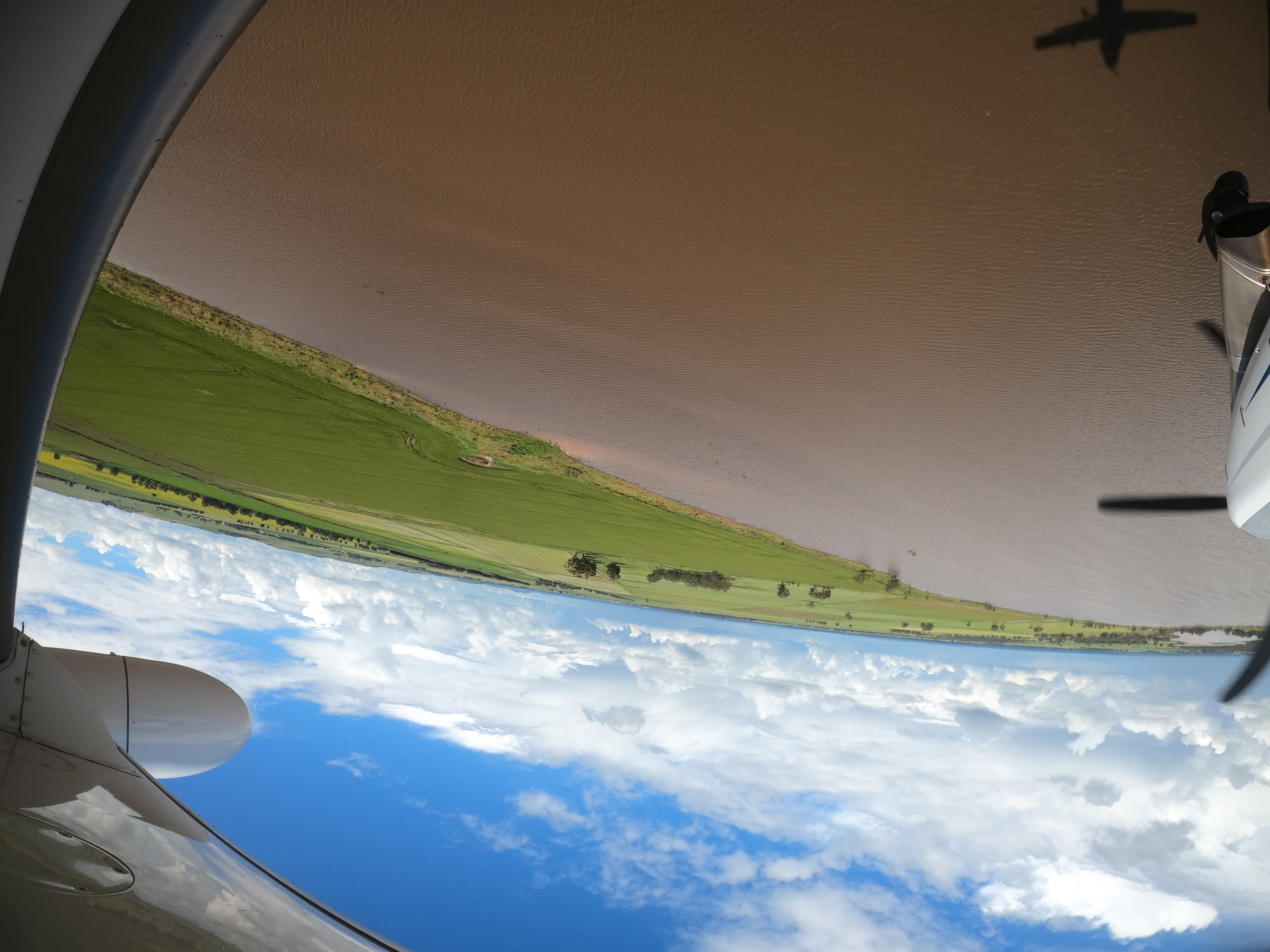
Trying to stay ahead of the bad weather.
First up are the Kiewa, Oven and King Rivers, all in flood with water inundating large parts of their floodplains and replenishing billabongs, wetlands and waterholes. Straw necked Ibis, egrets, herons and wood ducks are present in low numbers.
Next up we count over Lake Mokoan with shallow floodwater providing habitat for moderate numbers of Black Swans, Grey Teal, Straw Necked Ibis, herons and Wood Ducks. The lake was created in the seventies by impounding water in a natural wetland to store water for irrigation. The new reservoir killed around 200,000 red gums including many aboriginal scar trees. Long dry periods and the recognition that the shallow reservoir lost far more water to evaporation than it contributed to irrigation led to it being decommissioned. The water that would have been stored in the reservoir now contributes to environmental flows in the Murray-Darling river system.
In contrast Waranga Basin Reservoir with much deeper, turbid water supports low numbers of waterbirds – mainly comorants, pelicans and terns.
Counting over Waranga Basin near the dam wall.
Counting over Waranga Basin.
Further west The Wallenjoe wetlands are almost all full but the densities of birds are low – with low numbers of Black Swans, Mountain Duck and Grey Teal. Black Swan are breeding with a number of nests and broods sighted.
Surveying Lake Cooper.
Lake Cooper.
Lake Buloke has started to fill for the first time in years – but waterbird numbers are also low here as the birds are spread out across huge amounts of available habitat. As we fly over the lake we can see large number of carp in the shallow organic stained water.
Lake Buloke.
We continued counting to west of Nhill where poor weather and low light encouraged us to stop for the day and head for Naracoorte.