Year: 2011 - 2017
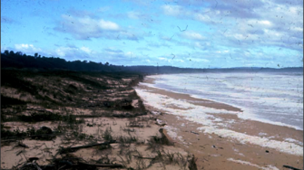
Eurobodalla Shire Council, located on the NSW south coast, commissioned WRL to prepare a coastal hazard assessment for 17 of their most vulnerable beaches. This study area comprises Durras Beach (south) to Broulee Beach, including Batemans Bay. This assessment forms Stage 2 of their Coastal Management Program, following a scoping study in Stage 1 (prepared by Umwelt), which prioritised those beaches with public and private assets potentially at high risk from coastal hazards.
The principal coastal deliverables were:
- Conceptual sediment transport models (figure 1)
- Erosion/recession hazard maps
- Coastal inundation hazard maps
During site inspections at each beach, WRL’s coastal engineers collected sand samples that were dried and mechanically sieved in our laboratory to determine their particle size distribution. Additional samples were treated with hydrochloric acid to determine their percentage of carbonate content (which provides an indication of whether the ...

Figure 1: Conceptual model of sediment movement and storm demand at Barlings Beach and Tomakin Cove

Figure 3: Calibration of coastal inundation methodology at Caseys Beach

Figure 2: Bengello Beach survey area, 25 May 1974 (source: McLean et al., 2010)
- For further information
- WRL Technical Report
Please contact:
Ian Coghlan | Principal Coastal Engineer | i.coghlan@wrl.unsw.edu.au
Eurobodalla coastal hazard assessment (2017/09).

