Our research

Personalise
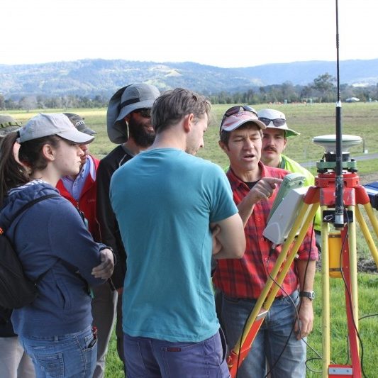
GMAT3150 and GMAT4150 Field Projects held at Berry Sport and Recreation Centre

Surveying and Geospatial Engineering Laboratory research is organised into the following themes: Geodetic Infrastructure & Analysis, Precise GNSS Positioning, Personal & Indoor Navigation, Multi-GNSS Studies, Navigation Receiver Design & Signal Processing, Multi-sensor Integrated Systems.

Geodetic Infrastructure and Analysis

Has a particular focus on Precise Positioning using Global Navigation Satellite Systems (GNSS), to address the accuracy requirements of Geodesy, Surveying, Mapping and Precision Navigation.

Precise GNSS Positioning Technology & Applications

A wide range of applications are investigated, including surveying, geodesy, structural monitoring, geo-referencing of moving platforms, support for robotics and machine guidance.

Personal and indoor positioning

Addresses the significant engineering challenge of deriving position/navigation information provided in indoor environments which are unsuited for GNSS.

Multi-GNSS Studies

Recognises that Positioning, Navigation and Timing (PNT) capabilities are rapidly gaining importance in modern societies.

Multi-sensor Integration

Concerned with the development of technologies and algorithms for navigation sensor systems that can operate in all conditions, and especially those where GNSS cannot be used. 

Satellite Navigation Receiver Design and Signal Processing

Focused on Global Navigation Satellite Systems (GNSS) receiver technology. Receiver design is a significant research challenge as the number of GNSS constellations expand and new navigation signals are broadcast to users.

Spatial Digital Twin @ SAGE

Digital twins-enabled spatial data have become an increasingly valuable tool for understanding and interacting with our physical environment..

Land Tenure @ SAGE

We investigate how land information can empower and modernise land administration systems..