


A scientist from UNSW Sydney explains why the current El Niño cycle hasn't behaved quite as we expected it to.
After many predictions, on September 19 the Australian Bureau of Meteorology formally announced an El Niño for the summer of 2023/2024, several months after it had been declared by other international meteorological agencies.
And while forecasts warned of a summer of increased heatwaves and fire hazards, you could be forgiven for thinking the east coast of Australia has seen a wet summer.
Associate Professor Andrea Taschetto, a climate scientist from UNSW Science’s Climate Change Research Centre, explains why El Niño hasn’t manifested as predicted this year.
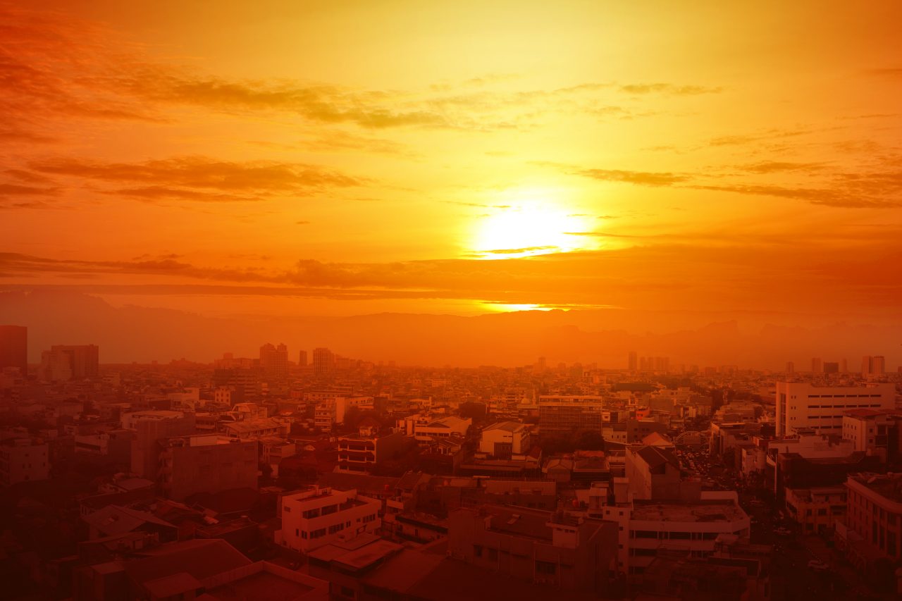
“El Niño is usually associated with warm and dry conditions, increased chances of droughts, heatwaves and bushfires in Australia,” says A/Prof. Taschetto. “Among other factors, the impacts of El Niño are more consistent during spring and over the eastern half of Australia – during summer, the relationship between ENSO and Australian rainfall actually weakens.
“This means that El Niño is less likely to explain what happens to rainfall in the summer compared to spring.”
Media enquiries
For enquiries about this story and to arrange interviews please contact Lilly Matson.
Tel: +61 426 656 007
Email: l.matson@unsw.edu.au

What is El Niño?
El Niño and La Niña are the phases of a phenomenon called El Niño-Southern Oscillation (ENSO). They are part of our natural climate system and appear in the tropical Pacific every three to seven years.
The atmosphere and the ocean are coupled in the tropics. “That means that if the ocean temperatures, currents or sea level change, the atmosphere responds to it, and vice-versa. If air temperature, atmospheric pressure, or winds change, the tropical oceans respond to it,” says A/Prof. Taschetto. “And this is what happens during El Niño and La Niña.”
To understand ENSO it’s important to know what normal conditions are. During a neutral year, there are winds along the equatorial Pacific – known as trade winds – blowing from the east to the west.
“Those equatorial winds pile up warm water in the west Pacific, closer to Australia, and favour cool water to accumulate in the east Pacific, close to South America,” says A/Prof. Taschetto.
“With that, there is usually more rainfall in the north of Australia and Indonesia compared to the east Pacific close to South America.”
With a La Niña event, the usual trade winds, ocean currents and temperature patterns intensify. This makes the east Pacific cooler and the water around Australia warmer than normal. The warmer temperatures close to Australia increase moisture availability and the chances of rain across Australia.
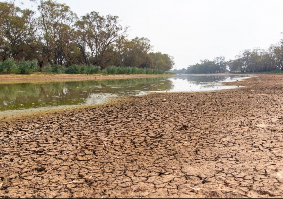
On the other side of the coin, during an El Niño, the trade winds weaken and less warm water is pushed from the east to the west Pacific. At the same time, the eastern Australia coastal water gets warmer than usual, while the western Pacific becomes cooler than usual. Together, these conditions mean that we see less rainfall over Australia.
Previous studies suggest an increase in the frequency of extreme El Niño and La Niña events under global warming, which can exacerbate these extreme events.
What happened to El Niño this year?
There are a number of reasons that we have experienced a wetter summer than expected. As A/Prof. Taschetto explains, the effects of El Niño on the eastern coast are felt more strongly during spring than summer.
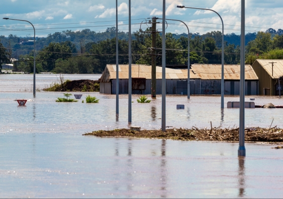
“And that has been consistent with what we have seen,” says A/Prof. Taschetto. “We have experienced a dry spring.” In fact, the August to October period last year was Australia’s driest three months on record since 1900. However, this was followed by above-average rainfall in November, and further wet conditions in late December along the east coast.
There are several factors that point to why the east coast has had such a wet summer, despite being in an El Niño period.
While El Niño stays in the tropical Pacific for months, weather systems vary daily. “El Niño can influence the way certain weather patterns manifest, but we cannot say that a particular weather system – such as a low or high pressure system and tropical cyclone – was caused by El Niño ,” says A/Prof. Taschetto.
“We know that El Niño typically decreases the chances for a wet season, particularly in spring over the east of Australia. But these are based on our knowledge of previous El Niño years and on predictions from climate models. These are probabilities and not certainty. The forecasts give us a probability for a season to be dry or wet. While the probability was for a dry summer, a wet summer was not completely discarded.
“It’s also important to note that El Niño’s influence on Australian weather also depends on the type of El Niño, and on the Indian Ocean sea surface temperatures and winds over the Southern Ocean."
Why has Sydney been so humid?
In mid-January, Sydney recorded its muggiest ever day, with humidity levels that reached 94 per cent.
“Summer is normally a hot and humid season; it is the wet season in the Australian tropics, when the monsoon is active,” says A/Prof. Taschetto.
While El Niño typically decreases the chances of rainfall, this year we haven’t had a strong influence of El Niño, particularly on rainfall patterns.
“But it has also been an odd type of El Niño , where the entire tropical Pacific ocean is warmer than expected, even in the west Pacific, which is normally cooler during El Niño,” says A/Prof Taschetto.
In fact, there have been reports of water temperatures along south-east Australia being three degrees warmer than average. “This not only weakens the coupling between the ocean and the atmosphere and weakens its influence over Australia, but when the ocean around Australia is warmer than expected, it then increases atmospheric moisture and rainfall in Australia,” says A/Prof. Taschetto.
What does this mean for this year?
According to the Bureau of Meteorology, there is a 60–80 per cent chance for a warmer autumn across Australia and a drier autumn over the northern and eastern areas.
“While it’s expected that El Niño will die out in the next few months, it’s really too early to say if a La Niña episode will develop by the end of this year,” says A/Prof. Taschetto.
El Niño and La Niña normally develop during winter and spring, peak during summer and peter out towards the onset of autumn.
“Generally, the start of an El Niño or La Niña is complicated to predict,” says A/Prof. Taschetto. “Forecasts run in late-summer and autumn for an upcoming ENSO does not have a high predictability skill, which is called the autumn predictability barrier.”
A/Prof. Taschetto reiterates that although it’s weakening, we are still in an El Niño event. “While it’s too early to say about La Niña, it’s more certain that the Pacific temperatures will return to neutral conditions in the next season.
"But in terms of La Niña predictions, we need to wait a few months to see how the forecasts change.”
The role of climate change
When talking about ENSO and the climate, the impact of global warming naturally comes into conversation.
Globally, 2023 was the warmest year on record.
While ENSO is a natural climate cycle, climate change certainly complicates things, A/Prof. Taschetto explains.
“With global warming there is an increased chance for more extreme events to happen in many regions. Many studies have already found more frequent heatwaves, increased frequency of heat in the oceans, droughts for some regions and severe rain in other regions,” says A/Prof. Taschetto.
“Australia's climate has warmed about 1.48 °C since 1910, and has already registered an increase in the frequency of extreme heat events.”
What’s more, previous studies suggest an increase in the frequency of extreme El Niño and La Niña events under global warming, which can exacerbate these extreme events.
“This means that we can expect, and must prepare for, even more extreme swings from droughts to floods across Australia.”
Related stories
-

More marine heatwaves could spell disaster for ocean life
-
If El Niño is expected, why hasn't it yet been declared in Australia?
-
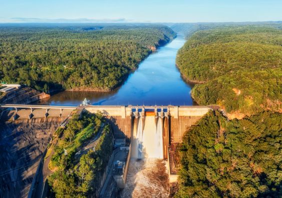
The dams are full for now – but Sydney will need new water supplies as rainfall becomes less reliable
-
A huge Atlantic ocean current is slowing down. If it collapses, La Niña could become the norm for Australia